
To Beaver Lake
Leave Tulsa headed east on Hwy 412 (it will become the Cherokee Turnpike for a bit.) Continue through Siloam Springs and on toward
? Springdale. Just before Springdale you will cross under Interstate 49. Go north on I-49 approx. 16 miles until you see Hwy 62 east. Stay on Hwy 62 east approx. 30 miles through Rogers, Gateway, and several small towns (normally takes us about 35-40 minutes.) Be cautious, this gets to be a VERY curvy road through the mountains.
?After approx. 30 miles as you come down a hill you will see a large brown sign on the right that says Hwy 187 (it also says Beaver Dam.) Turn right on 187 and follow it toward the dam. Just before you cross the dam there is a parking lot on the right, pull in there and we should be just to your left in the large parking area. Parking at the site is $5.00 per vehicle per day.?A google maps pin to the location is available here.
Our cell phone number is 406-9530 but it does not always get reception in the area.
Remember, these times and mileage counts are approximate and change depending on the driver, vehicle, and conditions. Please use them as a guideline to help you get to the site.
Beaver Lake Dive Sites
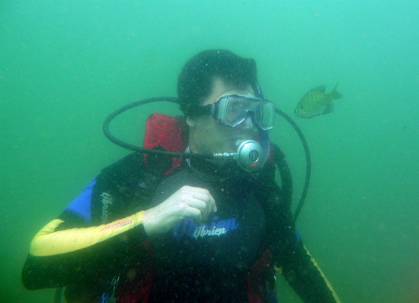
Indian Creek – Beaver lake GPS (36.4211 -93.8879) is a shore accessible fresh water dive site, located in Eureka Springs, AR. The maximum depth is 41-50ft/12-15m. The average visibility is 11-15ft/3-5m. A quiet cove, with 3 boats, a cart rack, and a boat lift all in under 40ft of water. plenty of stripper and some cat fish. mainly dirt and rock, when you get to over 45ft it becomes muddy
Farmstead-Beaver Lake GPS (36.4240 -93.8774) is a boat accessible fresh water dive site, located in Eureka Springs, AR. The maximum depth is 51-60ft/16-18m. The average visibility is 16-20ft/5-6m. Remains of farmstead from 1960s when the dam was completed. Cellar with glass canned goods still on the shelf, few coral posts, foundation of house, yoke for horse team, etc.
* Day Park – The Bluffs Beaver Lake GPS (36.4301 -93.8562) a shore accessible fresh water dive site, located in Eureka Springs, AR. The maximum depth is 91-100ft/28-30m. The average visibility is 16-20ft/5-6m. Excellent training area where ledges and all depths available.
Day Park – Beaver Lake Scuba Park GPS (36.4264 -93.8482) is a shore accessible fresh water dive site, located in AR. Common training site with VW Beetle, Speed Boat, Mock Submarine, Bouncy Platforms, and Houseboat.The maximum depth is 25-35ft. The average visibility is 15-20ft.
Pavilion 1 North Picnic Area -Beaver Lake GPS (36.4264 -93.8482) is a shore accessible fresh water dive site, located in AR. The maximum depth is 61-70ft/19-21m. The average visibility is 5-10ft/2-3m.
The Foundations – Beaver Lake GPS (36.4081 -93.8486) is a boat accessible fresh water dive site, located in Eureka Springs, AR. The maximum depth is 26-30ft/8-9m. The average visibility is 21-25ft/6-8m. This is the foundations of an old school house, it is in about 15? of water, and has ropes leading to a trail of things to see, from mannequins to and old school bus that rest at 35?. not alot a fish life, but a good boat dive for beginners.
Have questions about learning to dive?
Use the form below to contact us TODAY to find out more!
This site is protected by reCAPTCHA and the Google?Privacy Policy?and?Terms of Service?apply.